
Real challenges. Smart solutions. Measurable impact.
Projects & Case Studies
We partner with organizations to deliver mission-critical drone solutions that drive efficiency, accuracy, and better decision-making.
Featured deployments
Real-world UAV missions across infrastructure mapping, disaster response, and geospatial intelligence.
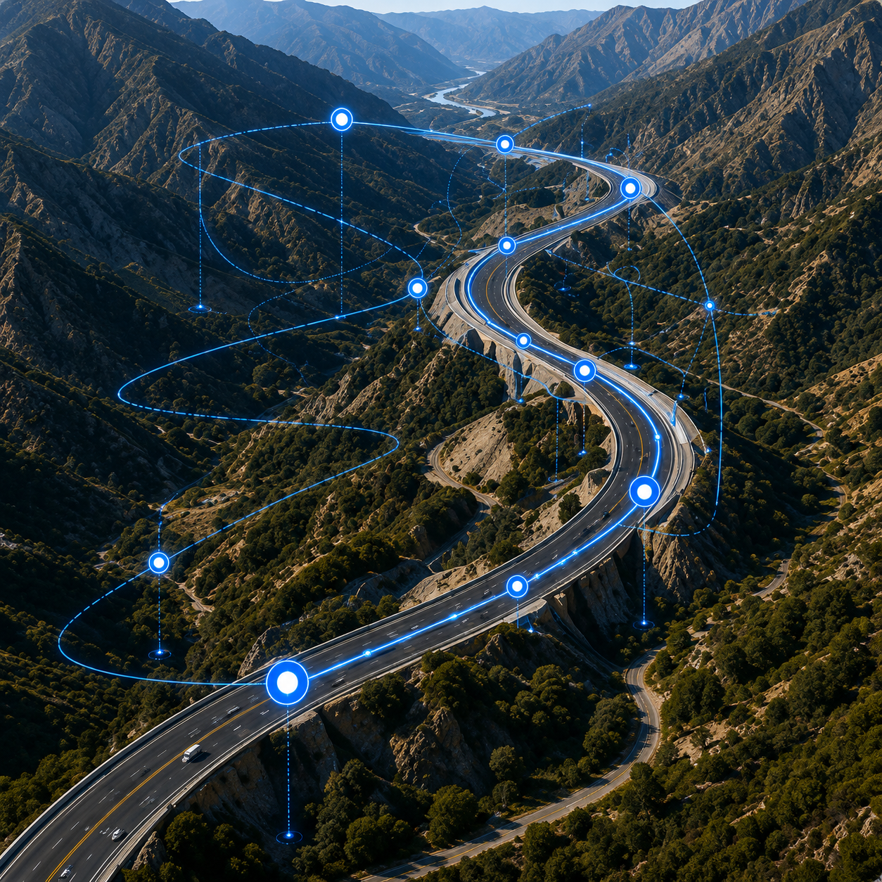
National Highway Corridor Mapping
Challenge
Accurate and timely mapping of a 1,200 km highway corridor across difficult terrain.
Solution
RTK-enabled drone survey with high-resolution imagery and advanced GIS processing.
Outcome
- 1,200 KM Corridor Mapped
- 98% Mapping Accuracy
- 40% Faster Delivery
- Reduced Field Time & Cost
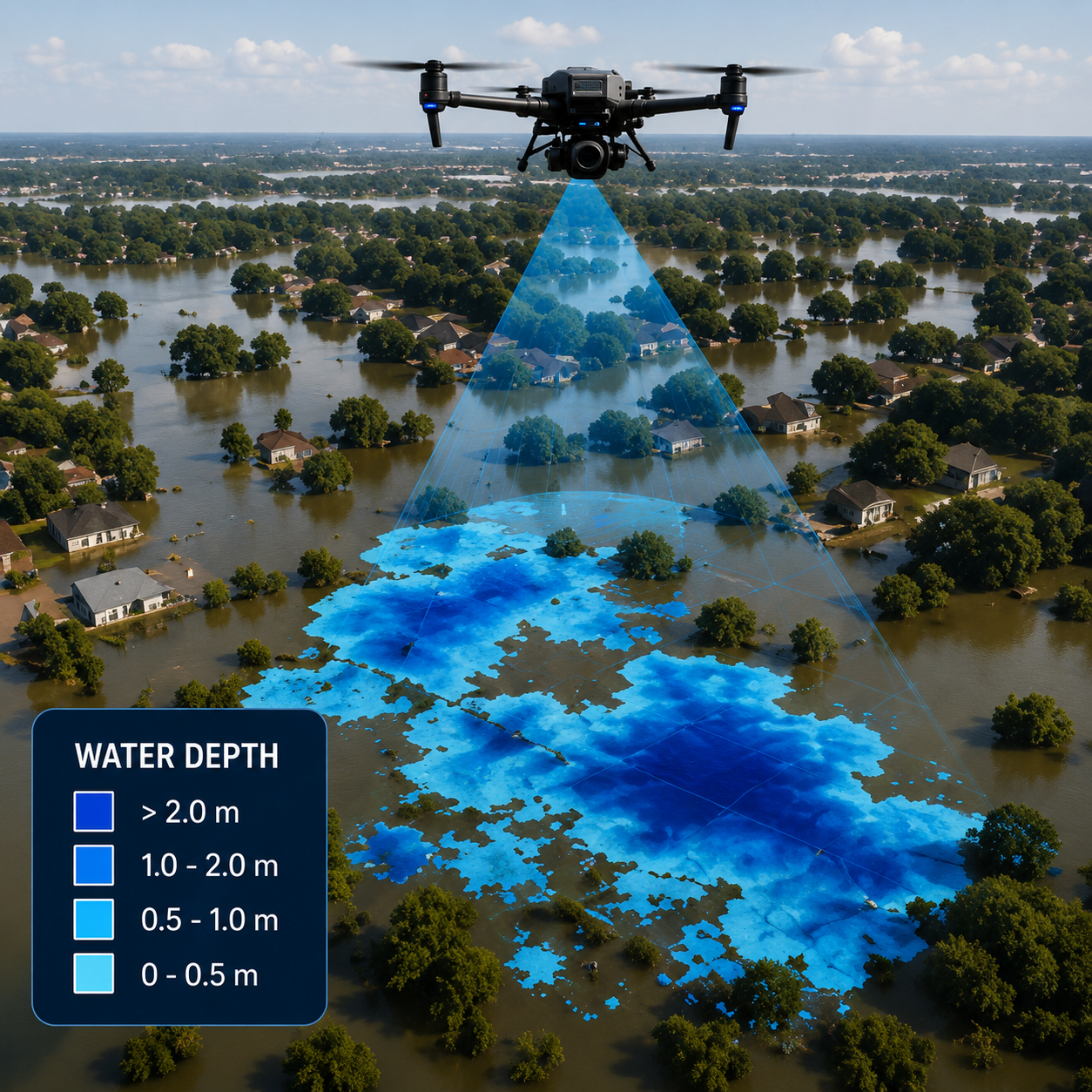
Flood Assessment Project
Challenge
Rapid assessment of flood-affected areas to enable faster relief and resource allocation.
Solution
Drone-based aerial intelligence with high-resolution mapping and real-time data analytics.
Outcome
- Real-Time Situational Awareness
- Accurate Flood Extent Mapping
- Faster Relief Planning
- Enhanced Decision Support
Our Impact in Numbers
Delivered
Clients
Mapped
Hours
Accuracy
What clients say
Hear from mining, agriculture, real estate, industrial, hospitality, and infrastructure teams who worked with AERO Edge.