
360° Hardware & Lifecycle
- Drone sales
- Maintenance
- Custom repairs
- Platform support
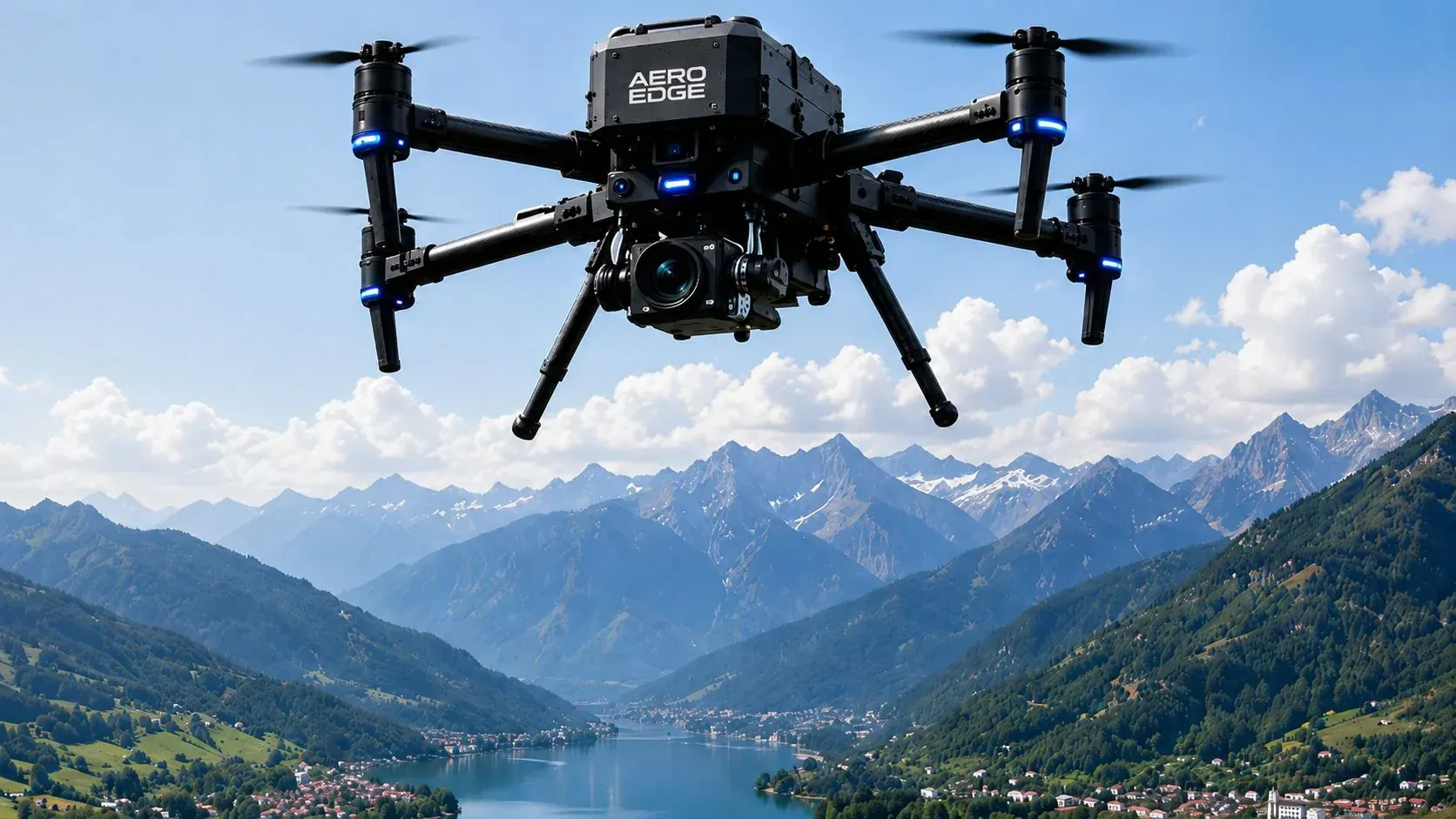
AERO Edge is a full-service drone company in India, based in Udaipur, Rajasthan — built for drone sales, repair, DGCA-aligned pilot training, and enterprise-scale drone operations.
From farmers and Panchayats to mining companies, fire departments, and government programs, AERO Edge connects hardware, pilots, and field operations under one organization — as a trusted drone company in Rajasthan and across India.
About AERO Edge
AERO Edge Drone Tech is a full-service drone company in India, based in Udaipur, Rajasthan. We combine drone manufacturing, sales, repair, DGCA-certified pilot training, and geospatial survey services for agriculture, mining, infrastructure, and public safety clients — all under one integrated drone services ecosystem, through company-owned hubs, distributors, dealers, and franchises across India.
Core capabilities
Explore one integrated portfolio for products, solutions, geospatial services, training, aerial media, and company information.
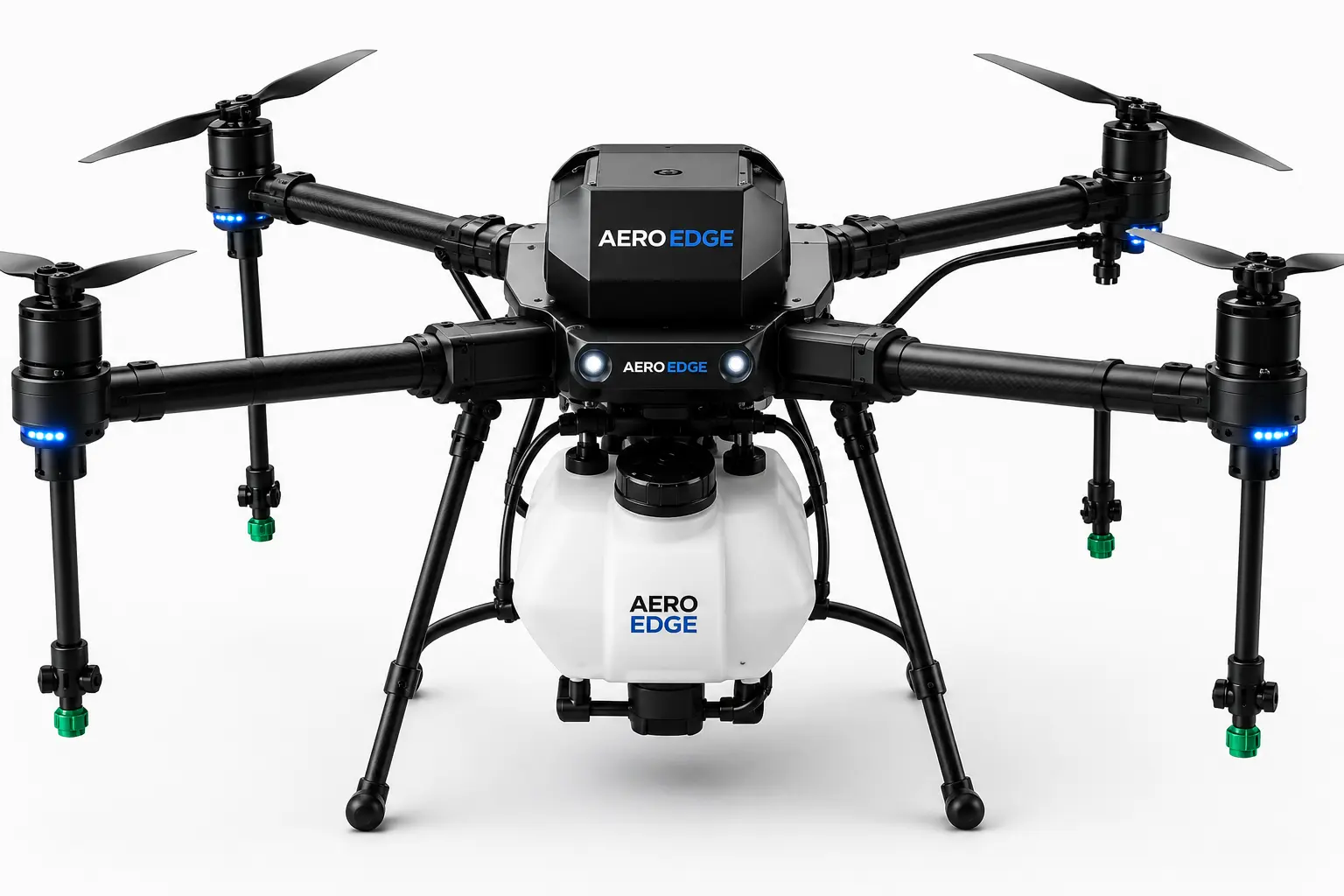
Survey, agriculture, inspection, and surveillance drones designed for reliable mission performance.
Explore products →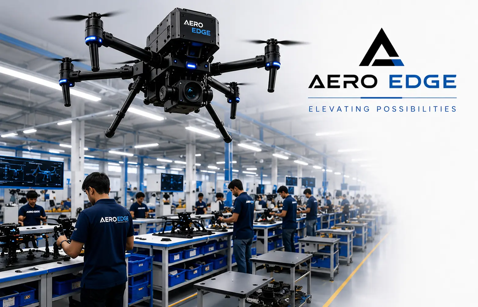
Manufacturing, AI-powered analytics, and robotic operations — built for modern enterprise needs.
Explore solutions →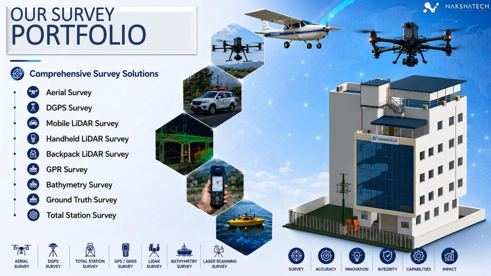
Survey capture, LiDAR, GPR, CAD, GIS, BIM, and digital twin inputs for engineering teams.
Explore geospatial →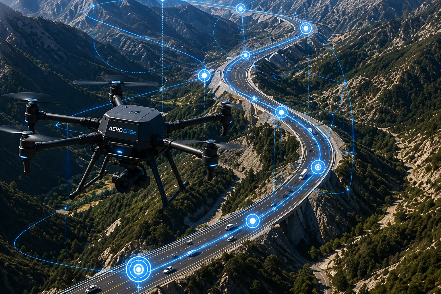
Real deployments across mapping, disaster assessment, analytics, and decision support.
Explore case studies →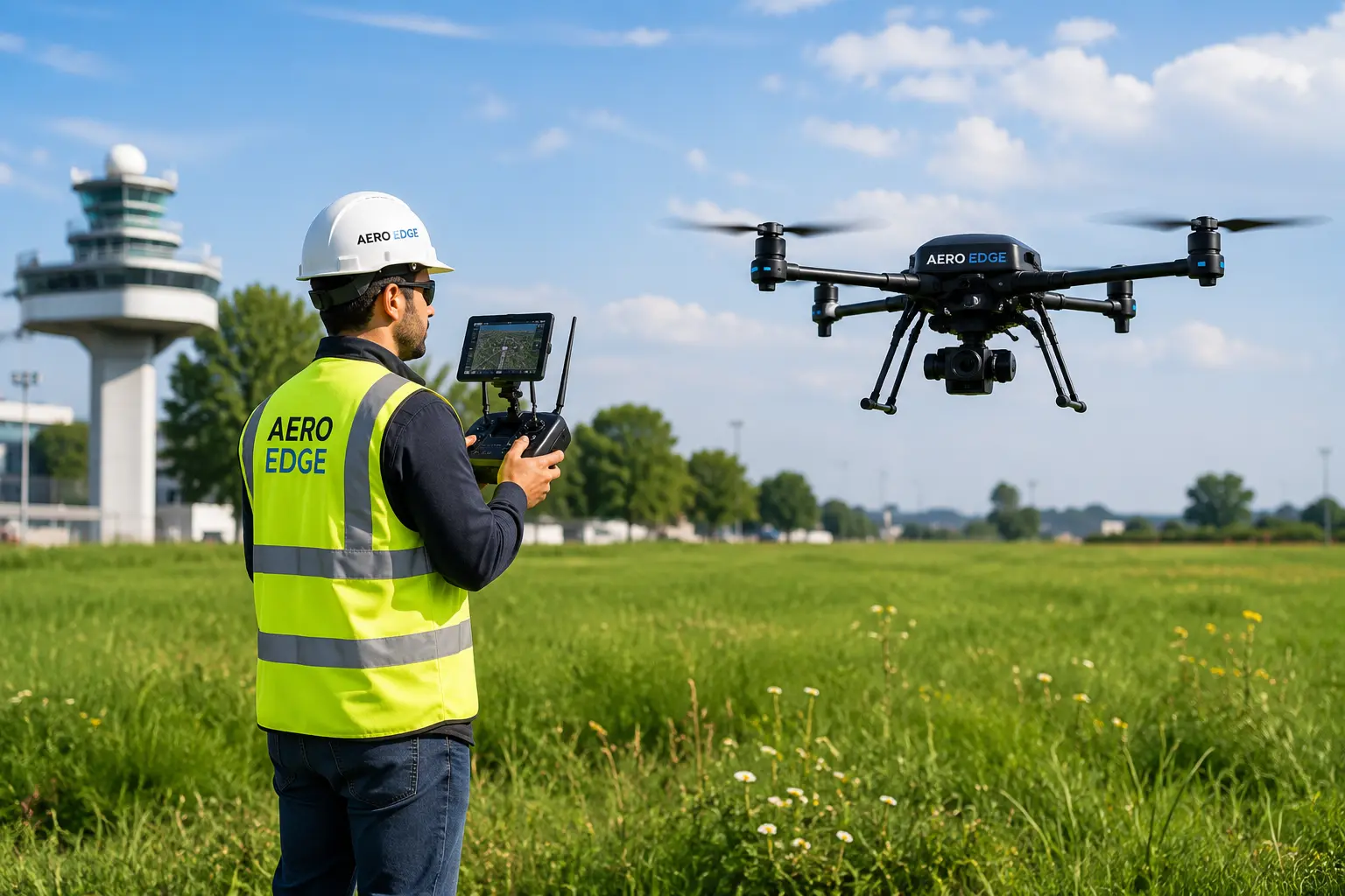
DGCA-aligned training, flight practice, certification assistance, and field-ready skill building.
Explore training →
Sky Memories — cinematic drone photography and videography for weddings, resorts, tourism, and events.
Explore wedding & tourism →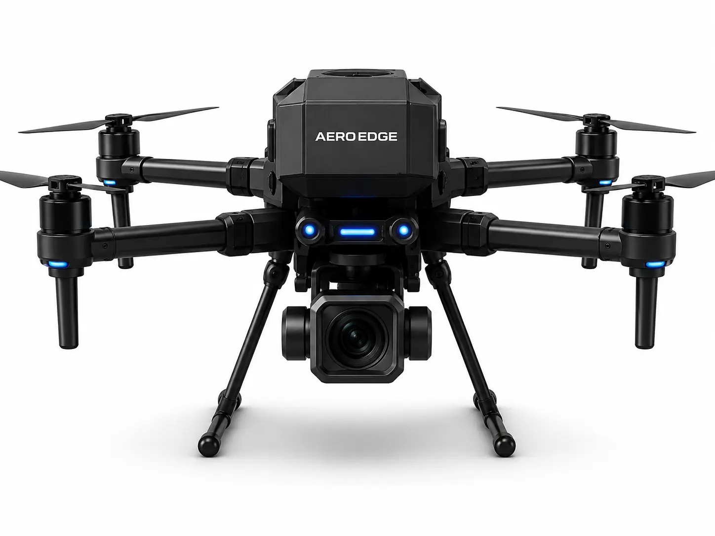
Mission, leadership, and vision for smarter drone-enabled operations across South Asia.
Explore about →Geospatial
From field capture to GIS, BIM, CAD, and digital twin-ready outputs — built for infrastructure, utilities, mining, and government projects.
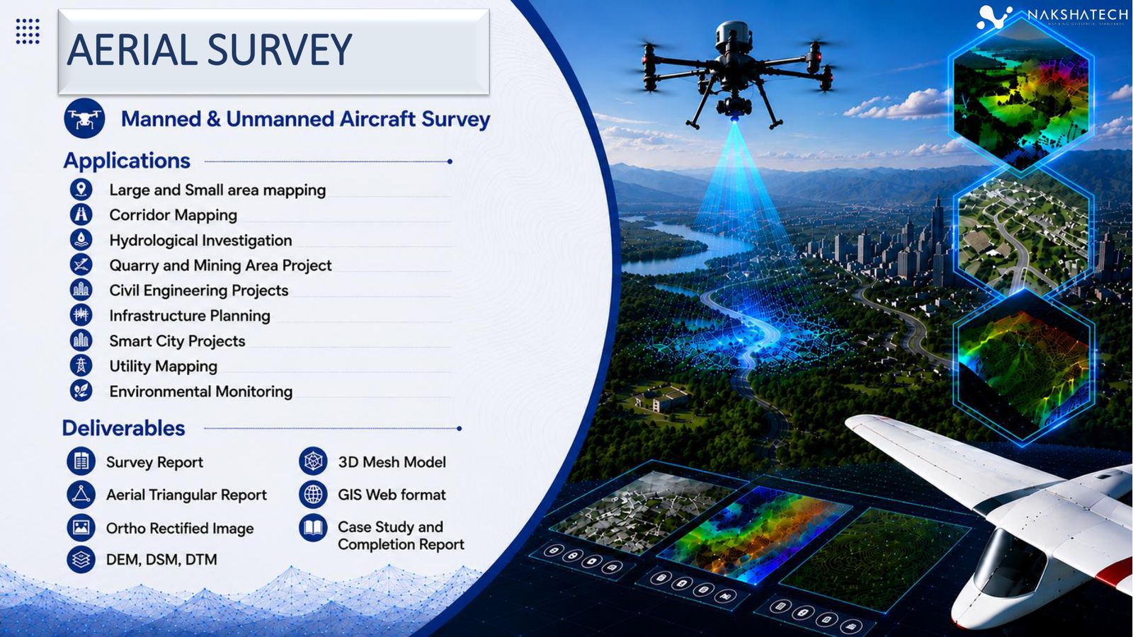
UAV and aircraft mapping
High-resolution mapping for corridors, infrastructure, utilities, and large-area planning.
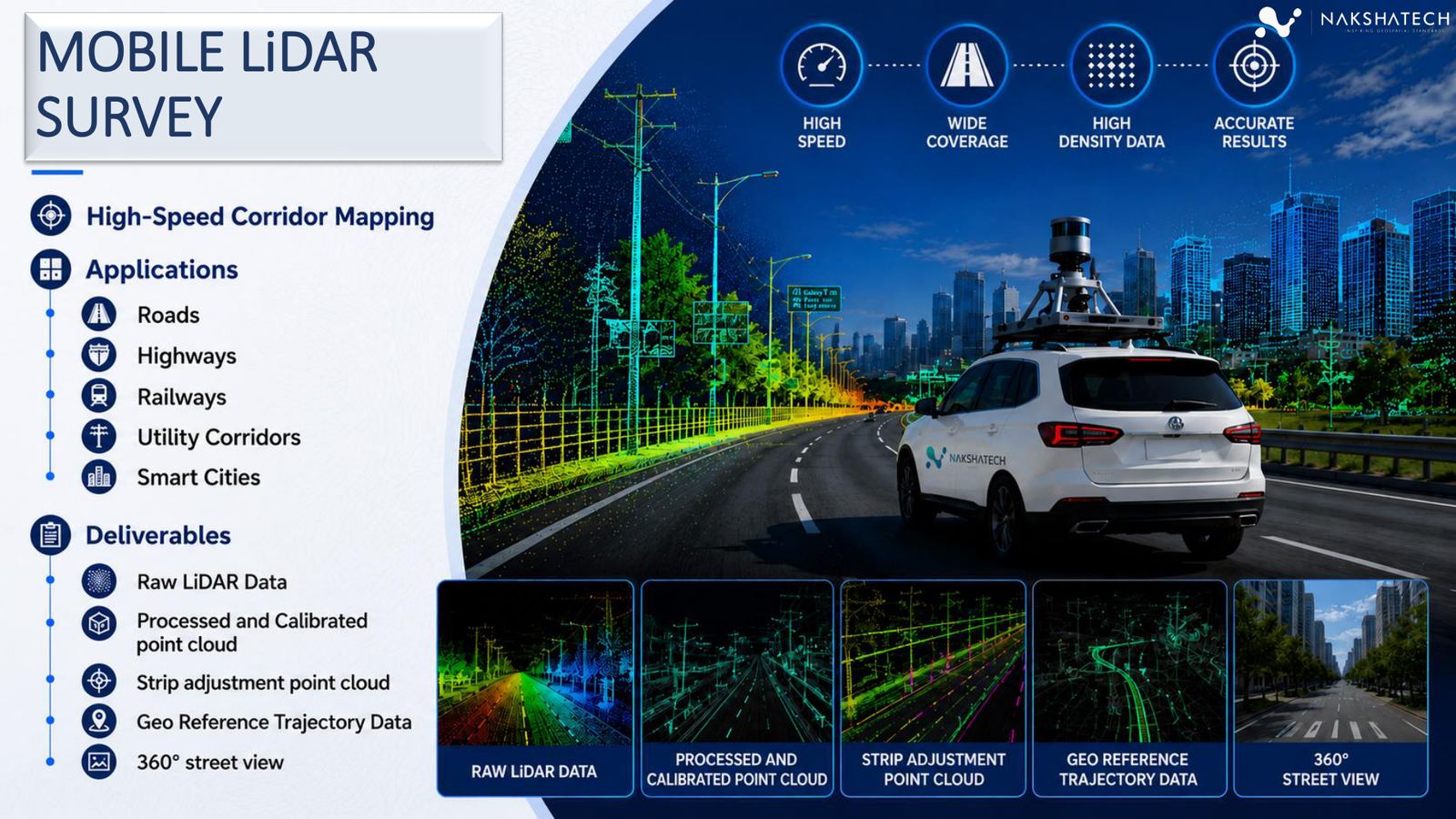
Corridor mapping
Vehicle-mounted LiDAR for roads, highways, railways, and utility corridors.
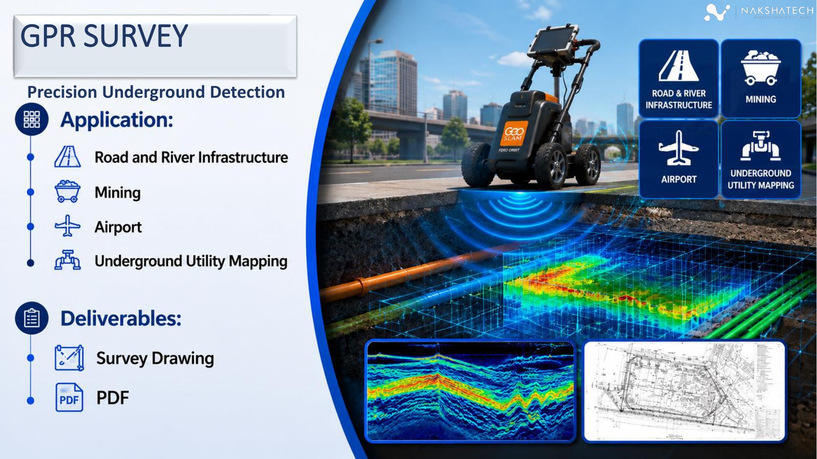
Underground detection
Subsurface utility detection and excavation risk reduction for complex sites.
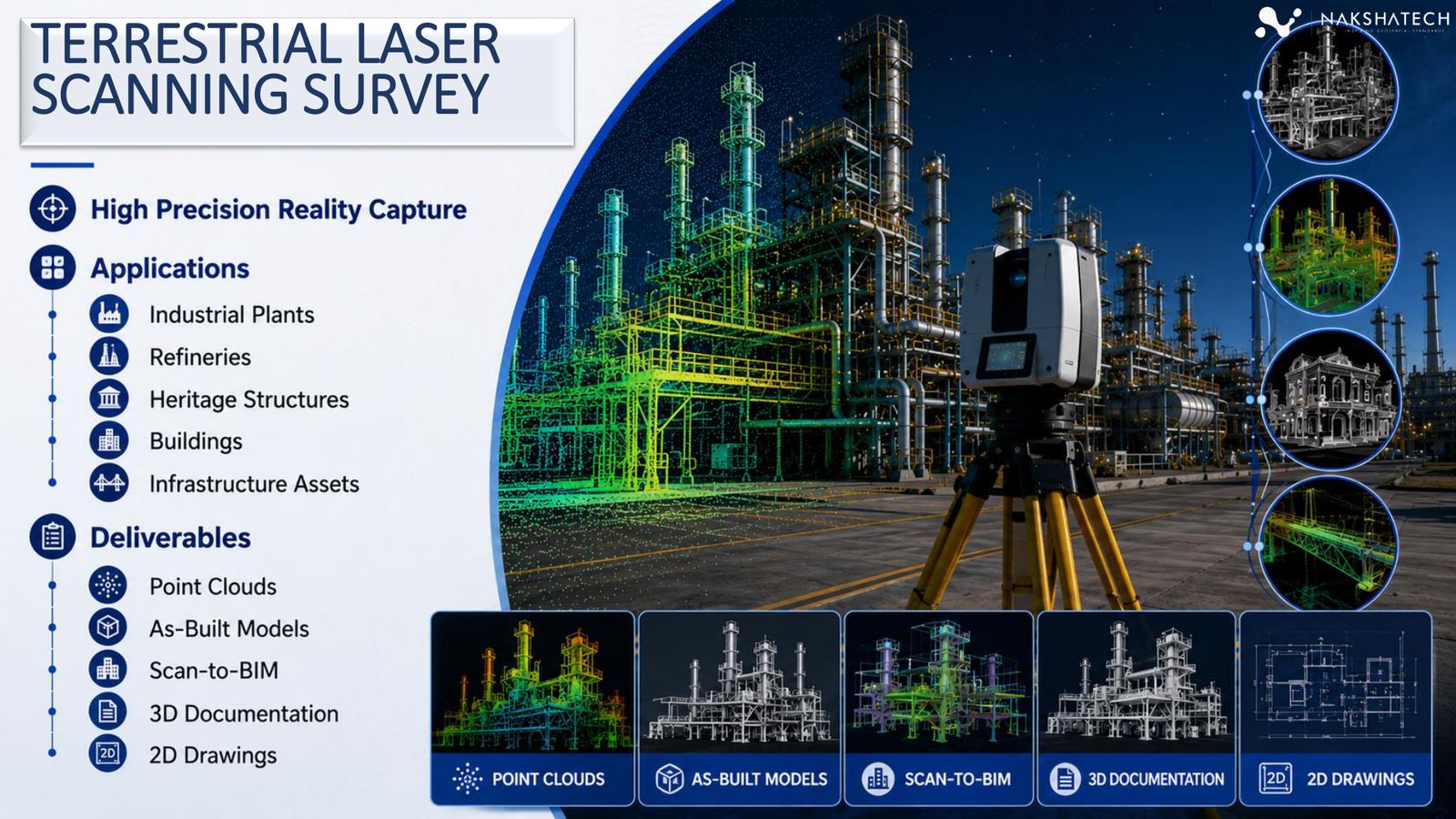
Reality capture
High-density point clouds, as-built documentation, and Scan-to-BIM workflows.
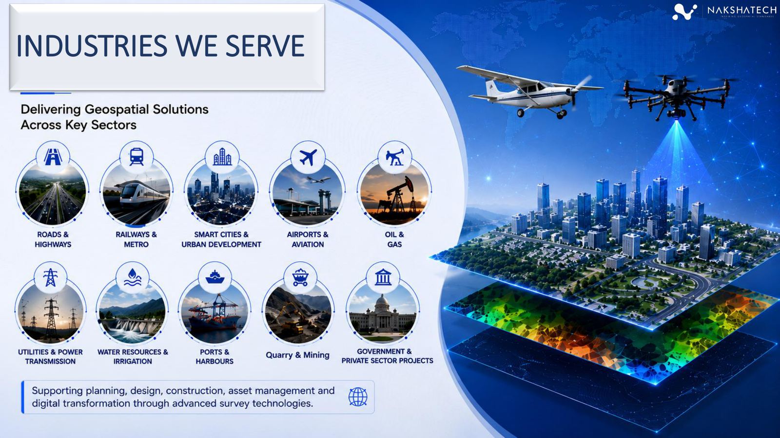
Industries served
AERO Edge supports planning, design, construction, asset management, compliance, and digital transformation across complex field environments.
Decision-ready outputs
Every engagement is designed around clear, usable outputs for project owners, planners, engineers, consultants, and procurement teams.
Project workflow
A structured workflow gives clients confidence before field work begins and keeps data quality, accuracy, and final deliverables aligned.
Confirm site, accuracy needs, safety constraints, equipment mix, and output formats.
Deploy field teams, control points, UAV, LiDAR, GPR, and QA-ready survey systems.
Generate point clouds, orthos, surfaces, contours, CAD/GIS layers, BIM inputs, and reports.
Package project outputs, explain assumptions, and support downstream planning and engineering decisions.
Operational advantage
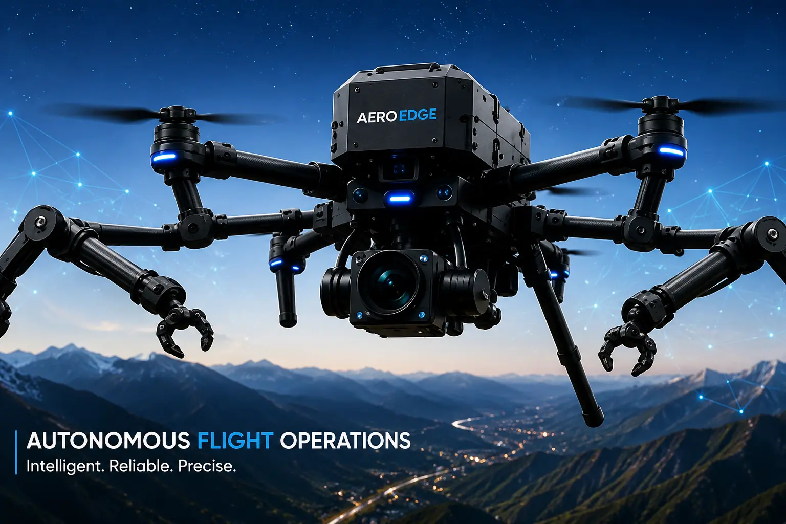
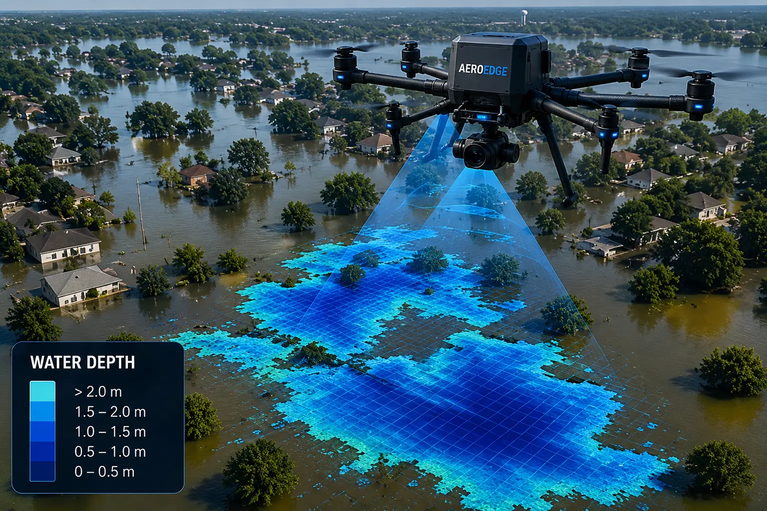
As a leading UAV company in India, AERO Edge combines field-ready drone platforms, trained operators, AI-assisted analytics, and robust project execution for industries that demand accuracy, speed, and accountability — the reasons clients consistently rank us among the best drone companies in India.
Proof beyond numbers
Different proof for different jobs — not the same hero stats repeated. Client stories and sector results sit next to operational capability.
Client testimonials
From mining surveys and crop spraying to real estate mapping, industrial inspection, and cinematic wedding films — clients across sectors share how AERO Edge delivered accuracy, speed, and confidence.
Start here
Tell us the location, scope, and timeline. We’ll recommend the right mix of drone capture, survey, and analytics for the job.
Primary next step