
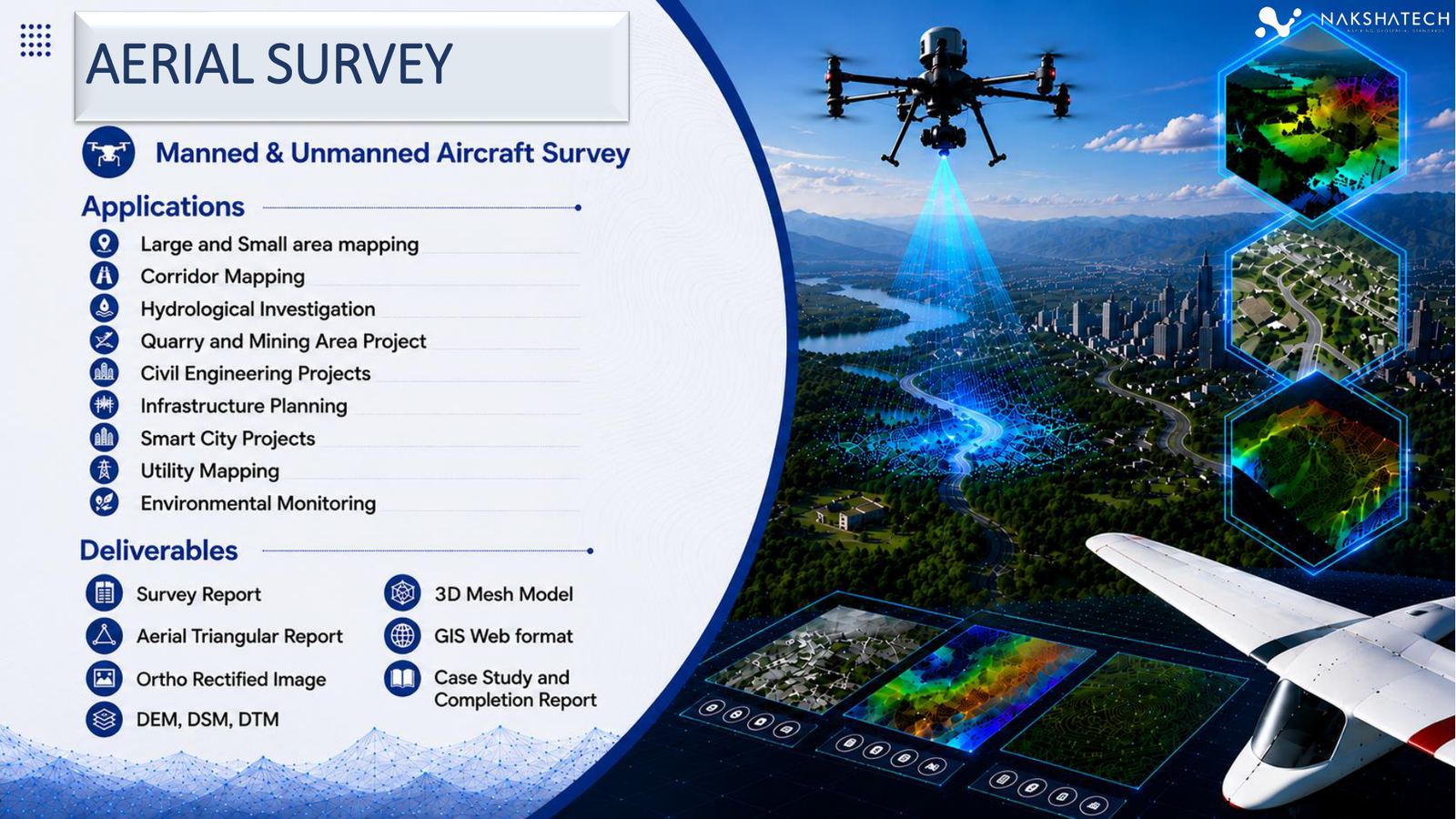
Manned & unmanned aircraft survey
Aerial Survey
High-resolution UAV and aircraft mapping for corridors, infrastructure, utilities, hydrology, environmental monitoring, and large-area planning.
Precision mapping for every project
AERO Edge provides geospatial survey services in India as a trusted geospatial survey company — offering drone survey services, land survey, and engineering survey solutions for infrastructure, utilities, smart cities, railways, roads, oil & gas, industrial, water, mining, and government projects — from field capture to GIS, BIM, CAD, and digital twin-ready outputs.
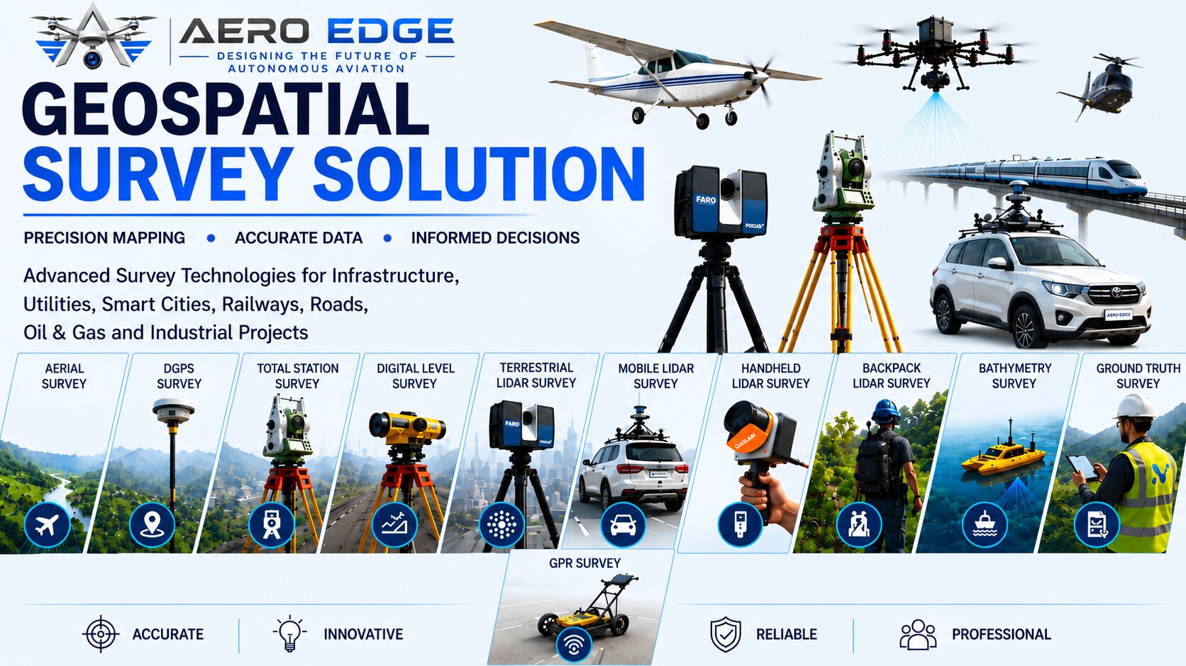
Why this service suite works
As a leading geospatial survey company in India, AERO Edge functions as both a survey and mapping company and a geospatial intelligence company in India — organizing each service for real buying journeys, so users can understand the survey category, compare service fit, review applications, confirm deliverables, and move quickly into contact.
Survey portfolio
Explore specialized survey capabilities with clear applications, deliverables, project workflow, related-service navigation, and conversion-focused calls to action.
Manned & unmanned aircraft survey
High-resolution UAV and aircraft mapping for corridors, infrastructure, utilities, hydrology, environmental monitoring, and large-area planning.
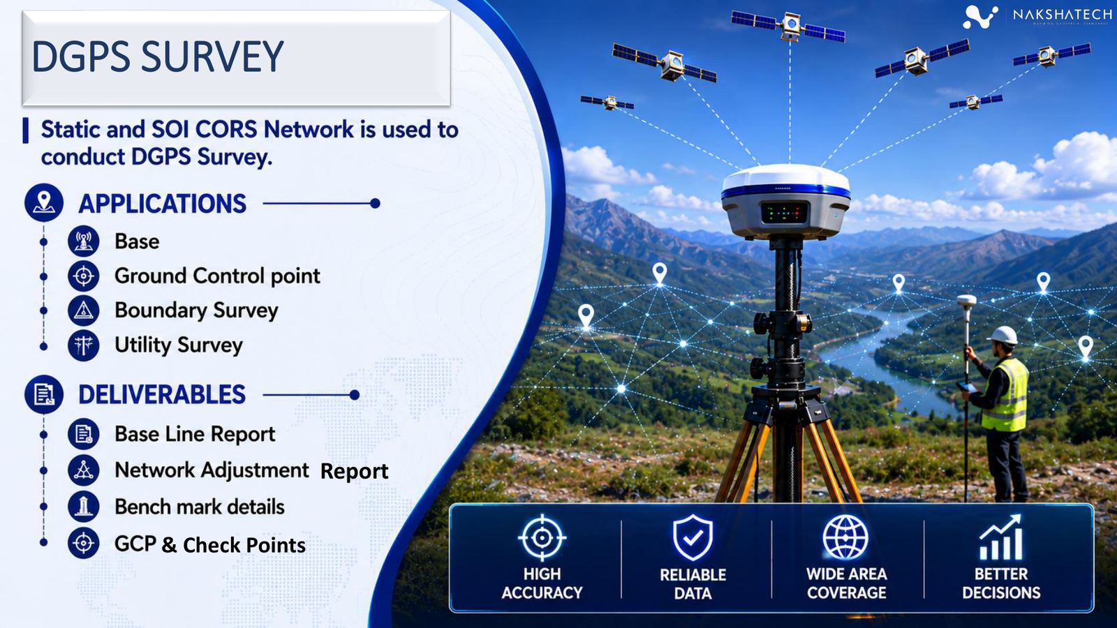
Static and SOI CORS network workflows
Precise geodetic control, base station setup, GCP/checkpoint creation, boundary work, and utility survey support for engineering-grade positioning.
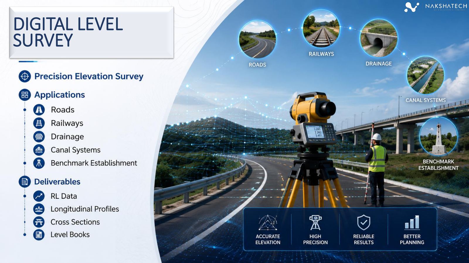
Precision elevation survey
Reliable elevation capture for roads, railways, drainage, canal systems, and benchmark establishment where vertical accuracy is mission critical.

Infrastructure development support
Topographic, alignment, quantity, and engineering drawing support for buildings, transport, water resources, smart cities, and DPR-led projects.
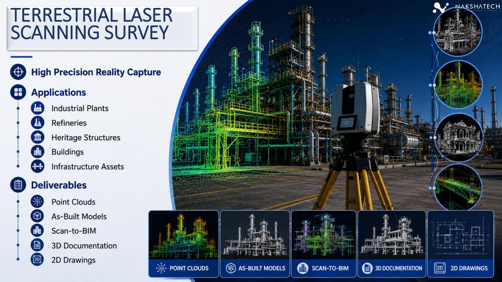
High-precision reality capture
Static laser scanning for high-density point clouds, as-built documentation, Scan-to-BIM workflows, and detailed 2D/3D asset capture.
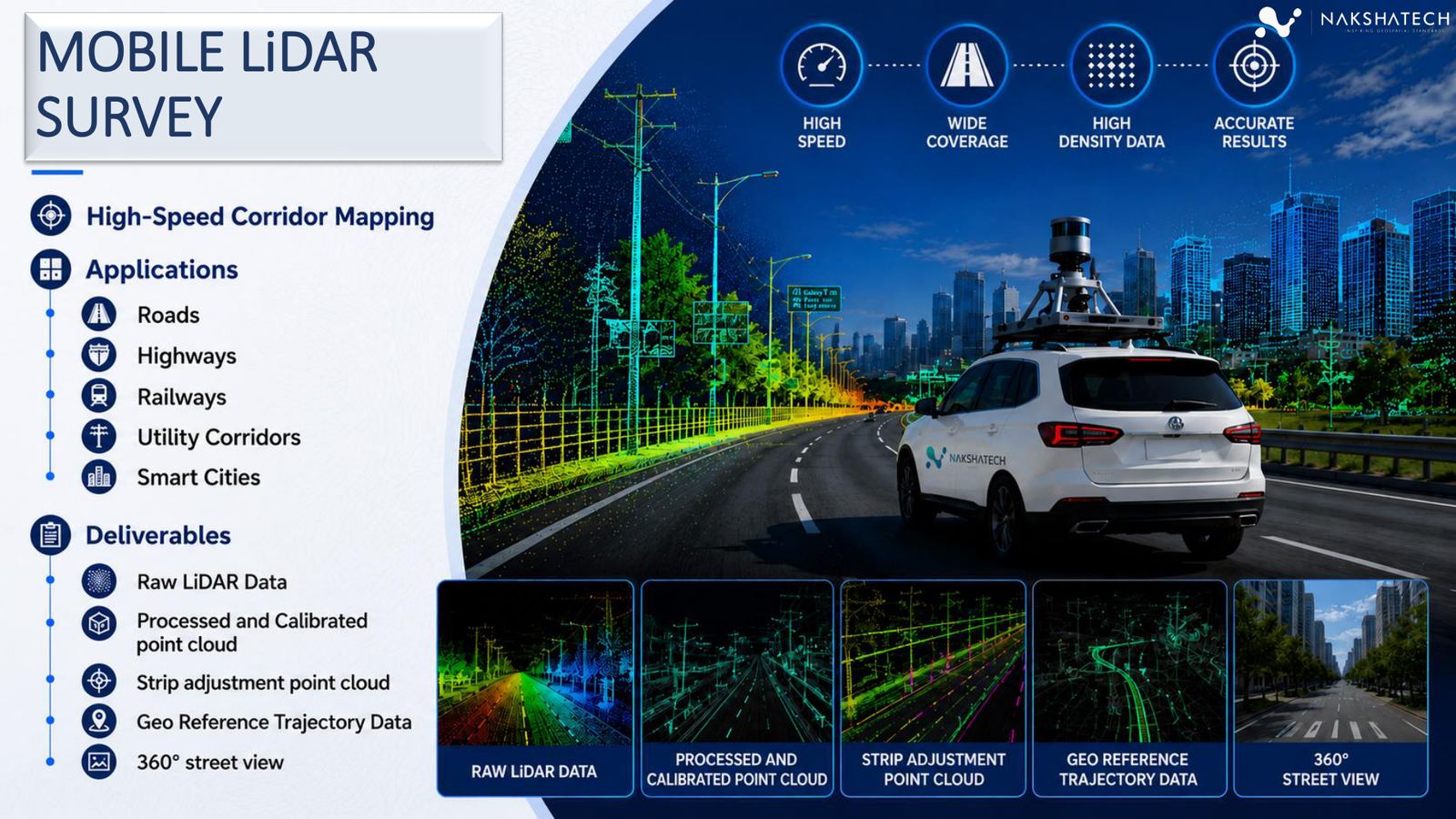
High-speed corridor mapping
Vehicle-mounted LiDAR collection for rapid, high-density corridor capture across roads, highways, railways, utility corridors, and smart city networks.
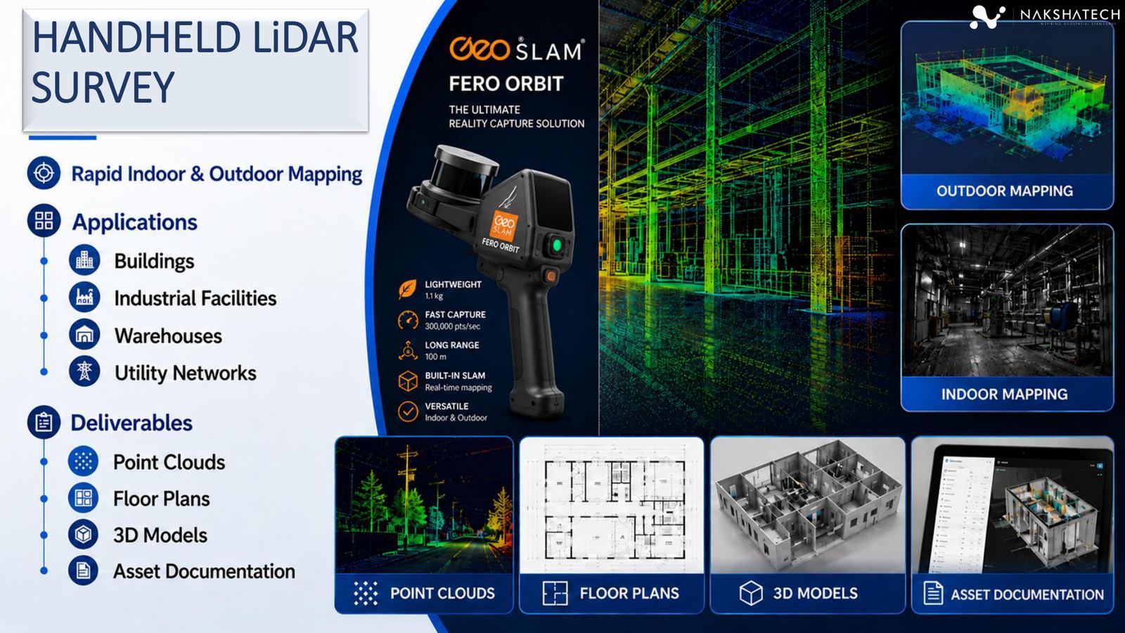
Rapid indoor and outdoor mapping
Portable SLAM-based LiDAR capture for buildings, industrial facilities, warehouses, and utility networks where fast, flexible reality capture is required.
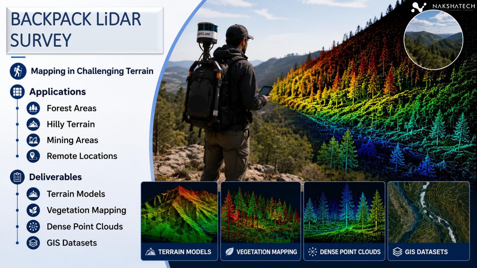
Mapping in challenging terrain
Wearable LiDAR mapping for forested, hilly, mining, and remote sites where vehicles cannot access and drone-only capture is insufficient.
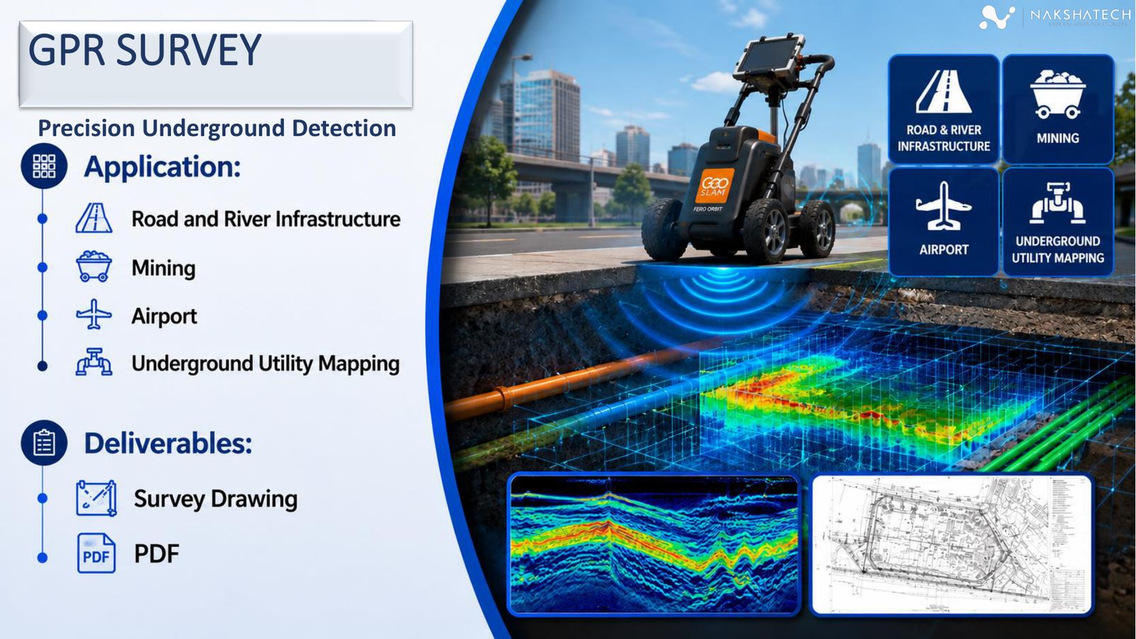
Precision underground detection
Ground penetrating radar surveys for locating subsurface utilities, infrastructure layers, mining features, airport assets, and underground conflicts before excavation.
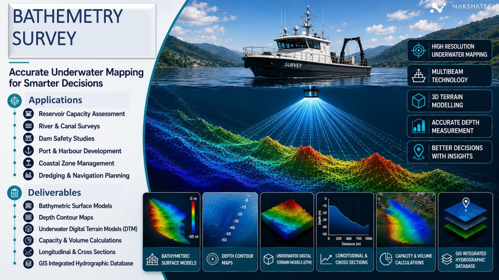
Accurate underwater mapping
Hydrographic survey services for underwater terrain, reservoir capacity, river/canal profiles, dam safety studies, coastal planning, and port development.

Field validation and verification
On-ground data verification, geo-tagged evidence capture, asset validation, utility verification, and attribute database creation for geospatial projects.
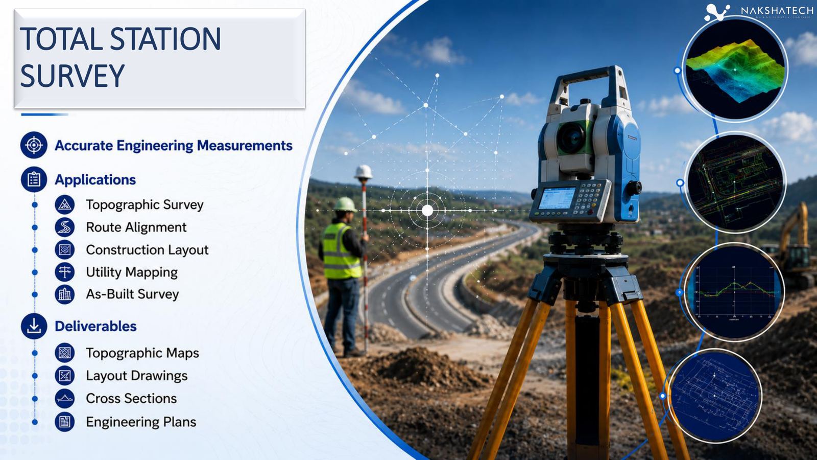
Accurate engineering measurements
Total station measurement services for route alignment, construction layout, utility mapping, as-built checks, and detailed topographic survey requirements.
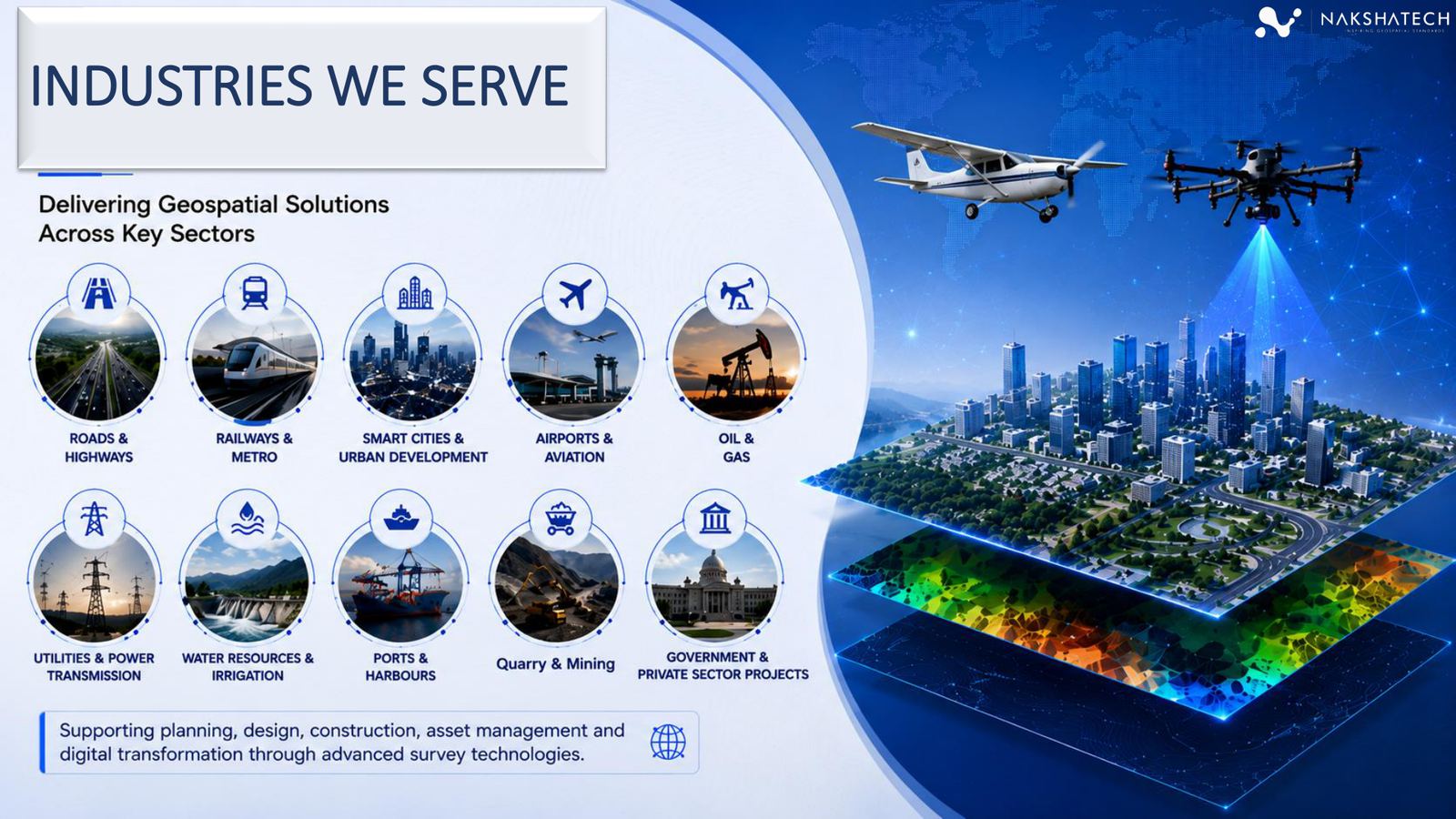
Industries served
As a trusted land survey company and engineering survey company in India, we're positioned for planning, design, construction, asset management, and digital transformation across high-value sectors.
Outputs
Outputs are grouped in plain language so project owners, engineers, planners, and procurement users can understand exactly what they receive. As a full-scope GIS mapping company in India, AERO Edge also delivers BIM services and digital twin survey company-grade outputs for advanced engineering and asset-management needs.
UX-led project flow
The pages now guide visitors through a clear, confidence-building workflow instead of leaving services as disconnected brochure images.
Confirm site, accuracy needs, safety constraints, equipment mix, and output formats.
Deploy field teams, control points, UAV/LiDAR/GPR systems, and QA checks.
Generate point clouds, orthos, surfaces, contours, CAD/GIS layers, BIM inputs, and reports.
Package project outputs, explain assumptions, and support downstream planning or engineering decisions.
Share the site location, project type, required accuracy, and preferred deliverables. The new pages are designed to convert that intent into a qualified enquiry.